As Colorado grows, protecting what makes our home special is vital.
Join us in conserving the land and water that unite us.
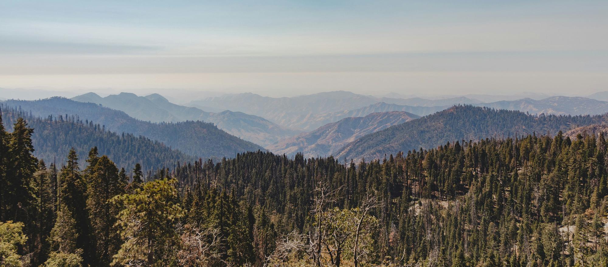
The beloved mountains and meadows of southern Colorado beckon us outdoors during summer's long days, yet this season brings with it the potential for wildfires. When drought intensifies wildfire risks, and even when the region receives spring precipitation that carpets the hills in verdant growth, the subsequent heat and dry stretches can transform this abundance into tinder. The connection to nature that improves our physical and mental health (often) remains accessible, but additional planning and preparation will enhance your safety and enjoyment of Colorado’s majestic landscapes. Here are some helpful tips to equip you to travel mindfully into the high country when the risk of wildfire is elevated.
From May through October, the southern Colorado landscape grows increasingly susceptible to fire's impact. The harmonious balance of precipitation, temperature, humidity, and wind determines the particular fire dangers throughout the year. Patterns of drought have shifted toward longer, more intense fire seasons—a reality we must acknowledge when we set out to connect with nature.
Preparation is not merely practical; it is an act of respect toward these places we cherish. To venture outdoors during wildfire season requires a deeper attention, a more conscious partnership with the environment. This mindfulness need not diminish our joy—rather, it enriches our experience by connecting us more fully to the land's rhythms and realities.
Wildfires have shaped Colorado’s landscape for millennia, and some species, such as the Lodgepole Pine, even rely on fire as a vital part of their lifecycle.
Check Current Fire Restrictions: Before departing, consult county websites, the U.S. Forest Service, or Colorado Parks and Wildlife platforms for current fire restrictions. These vary by location and evolve with conditions—a campfire permitted yesterday may be forbidden today.
Monitor Air Quality Reports: Our breath connects us intimately to the world around us. The airnow.gov website or app provides real-time air quality data, with color-coded indicators to help you understand the current and forecasted air quality. Remember that sensitive groups—children, elders, those with respiratory conditions—feel the effects of poor air quality first.
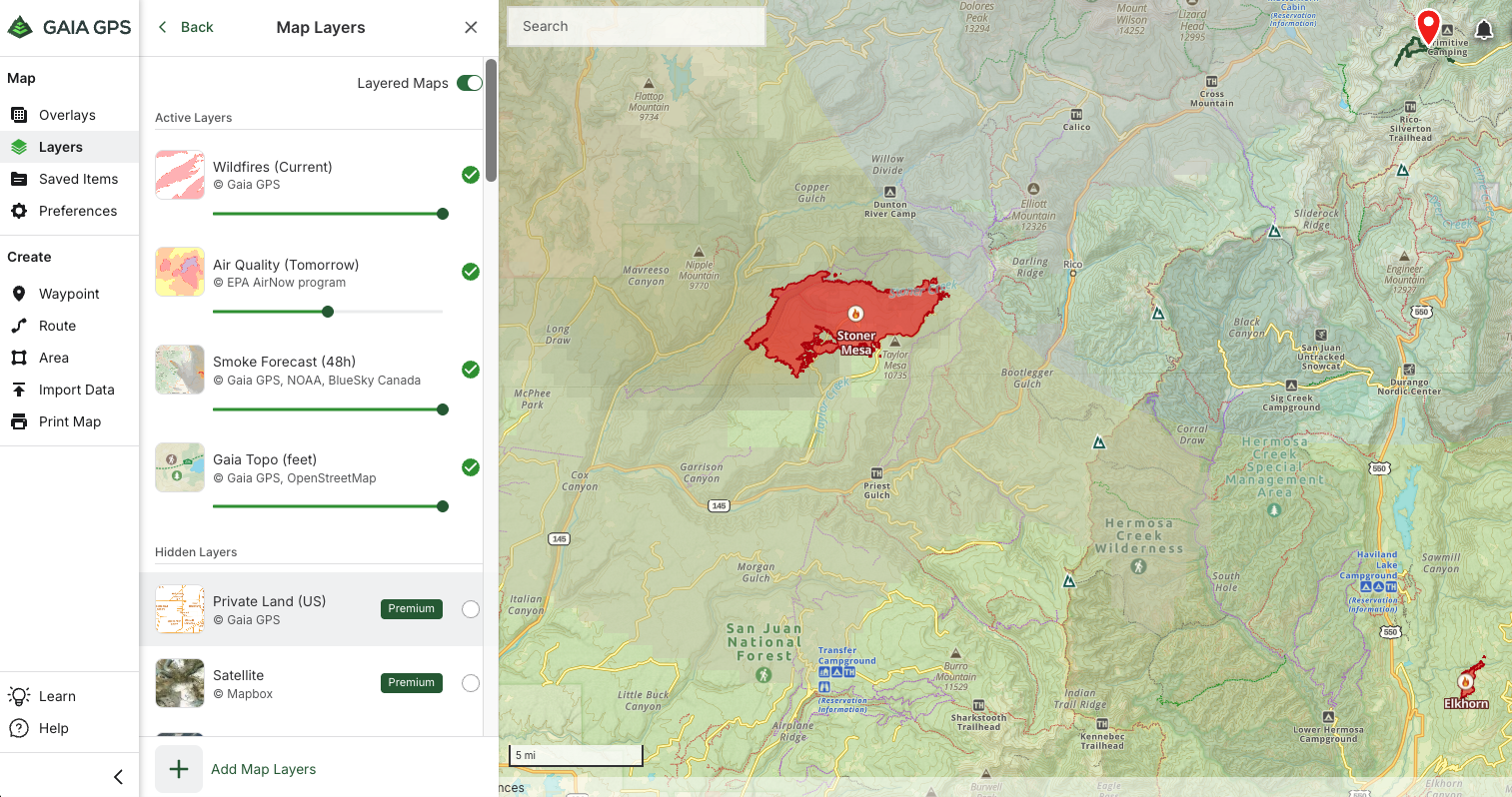
Track Active Wildfires: Knowledge of fire's presence allows for wiser decisions. The InciWeb map shows active wildfires to know what areas to avoid.
Apps such as GaiaGPS provide map layers for current and historic wildfires, as well as smoke and air quality layers, to better understand how conditions can be impacted for hundreds of miles away from an active wildfire.
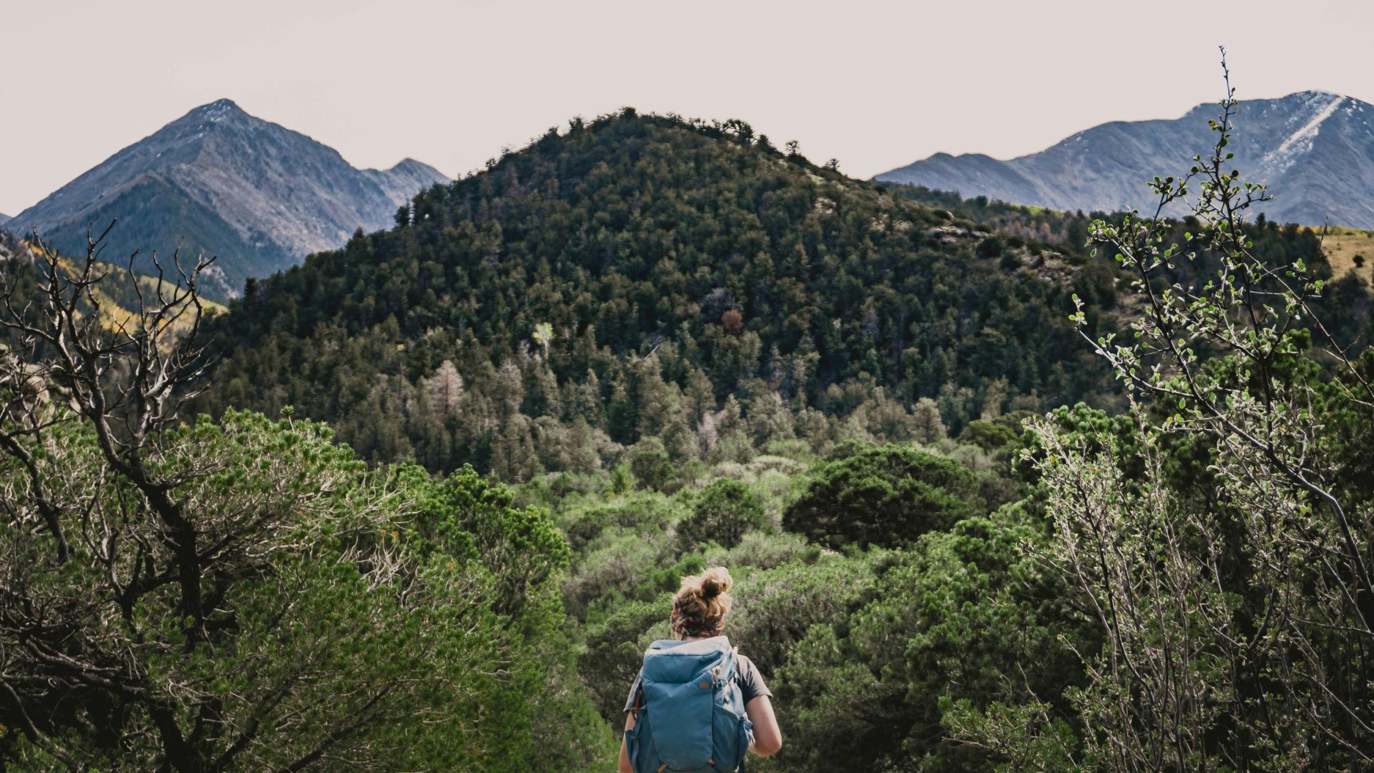
Plan Multiple Routes: Nature teaches us adaptability. Before departing, study maps and identify several paths both to and from your destination. The trail or road most traveled may become impassable; alternative routes become the only route. In October 2020, a fire broke out near the popular Ice Lake Trail, which cut off hikers from their vehicles.
Pack Extra Supplies: Carry what sustains you if circumstances change—it’s a great idea to always pack the 10 essentials as well as any medications and inhalers. These items foster self-reliance, allowing you to adapt when conditions shift.
Choose Low-Risk Areas: Some landscapes may have a much higher risk of wildfire. Checking the current fire danger at a few locations across the state can help determine where fire danger may be lower.
Time Your Adventures Wisely: Dawn's gentle light often brings clearer skies and calmer winds. Morning adventures often present better conditions than afternoon excursions, when heat intensifies.
Share Your Itinerary: Tell someone reliable where you're going and when you expect to return. This simple act weaves a safety net beneath your journey.
Stay Connected: Consider tools that extend beyond cellular networks—satellite messengers or personal locator beacons offer communication where cell towers cannot reach. A weather radio provides updates when digital connections fail.
Vehicle Safety: Your automobile can spark misfortune if treated carelessly. Never park on tall grasses—the heat of your exhaust system can ignite dry vegetation. Keep vehicles on established roads and areas clear of flammable materials.
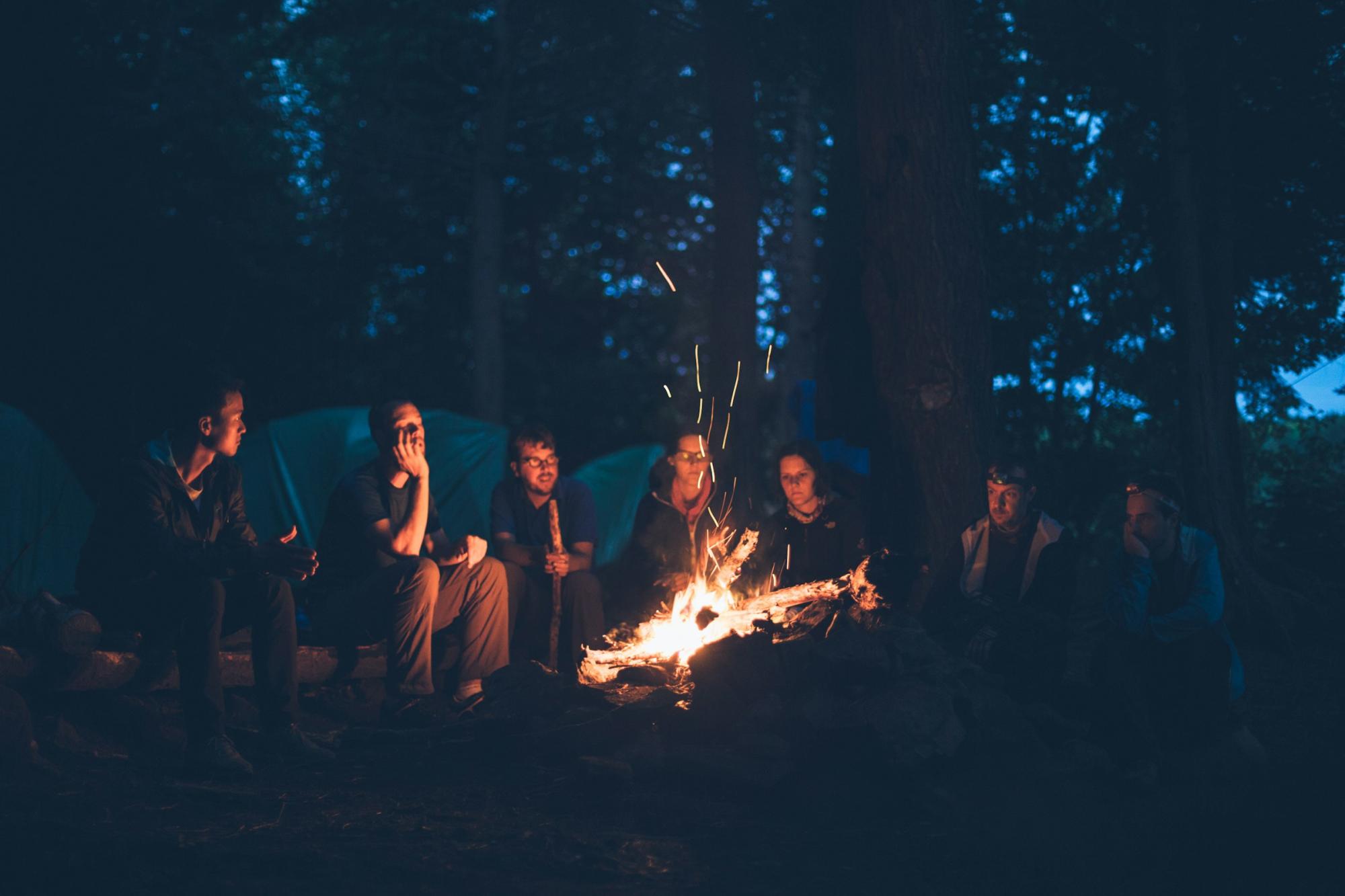
Proper Campfire Management: If fires are permitted, create them with reverence by minimizing campfire impacts. Keep your fire small, attend it constantly, and extinguish it completely until cool to the touch. Remember: a properly doused fire is one you can place your hand in without finding warmth.
Recognize Warning Signs: Pay attention to sudden shifts in wind and the scent of smoke growing stronger. These signals call for humility and a willingness to abandon plans rather than safety.
Protect Your Respiratory Health: Packing an N95 mask can provide protection if air quality deteriorates.
Our relationship with Colorado's wild places requires vigilance during fire season, but preparation creates possibility. With thoughtful planning, we need not forfeit our connection to these landscapes that provide countless personal benefits. The mountains, forests, and prairies remain our teachers and companions, even as they face their own seasons of vulnerability.
Remember these practices not just for yourself, but for all who will follow your footsteps. Share this wisdom with fellow adventurers, for in protecting the land, we protect these profound connections for future generations.
–
Disclaimer: Palmer Land Conservancy assumes no responsibility for injuries to persons or damage to property caused by any actions taken based on the information provided herein. Links to external websites are provided for convenience and do not imply endorsement. Palmer Land Conservancy is not responsible for the accuracy, reliability, or content of third-party websites. Use of the information herein is at your own risk, and Palmer Land Conservancy will not be liable for any damages arising from its use.